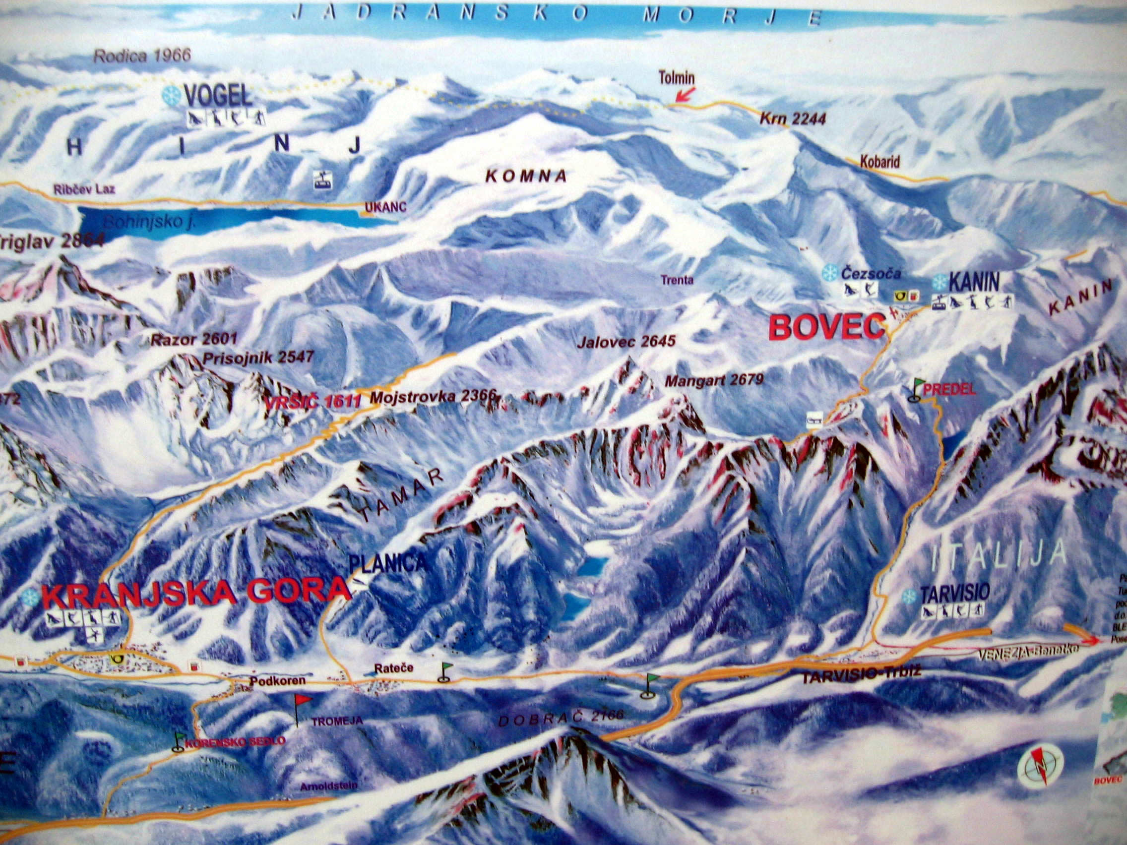

Starting in the charming hotel of Lake Bled, from where you enjoy romantic vistas to the Island and castell of Lake Bled, your trip continue in direction of 40 km far away village Kranjska Gora.
The village of Kranjska Gora is an alpine centre with beautiful scenery of Western Julian Alps and known from World Cup slaloms winter sports. Only five kilometres from here, you drive in direction of Austria and Italy border.
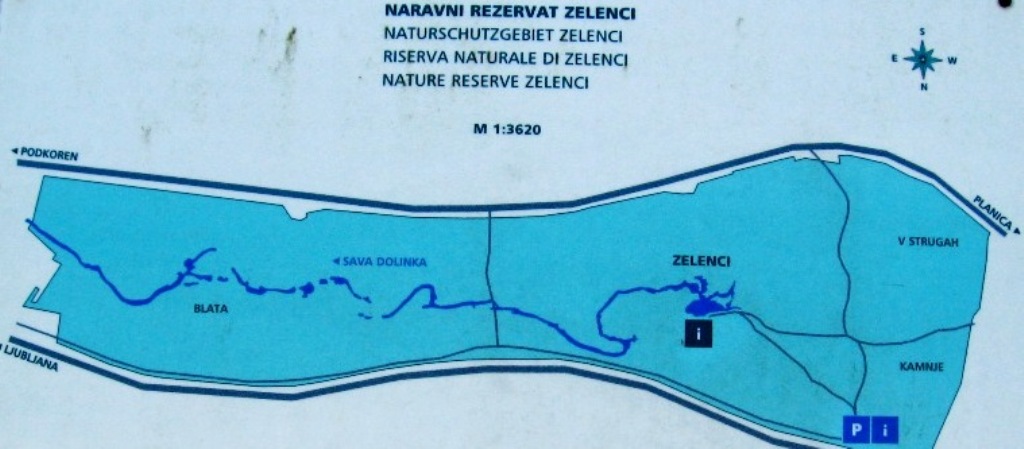
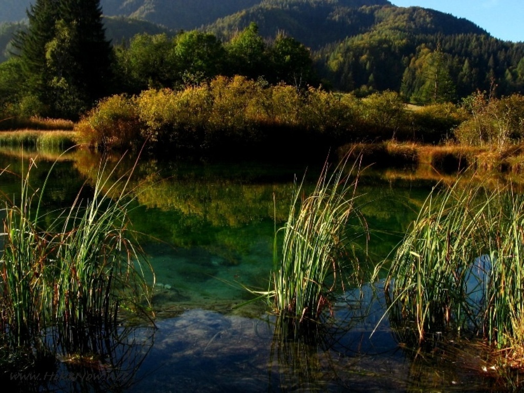
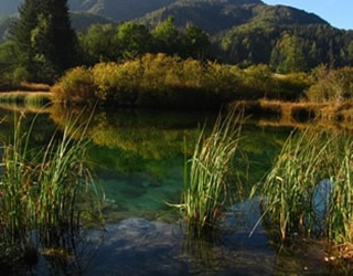 Zelenci, the source of river Sava Dolinka
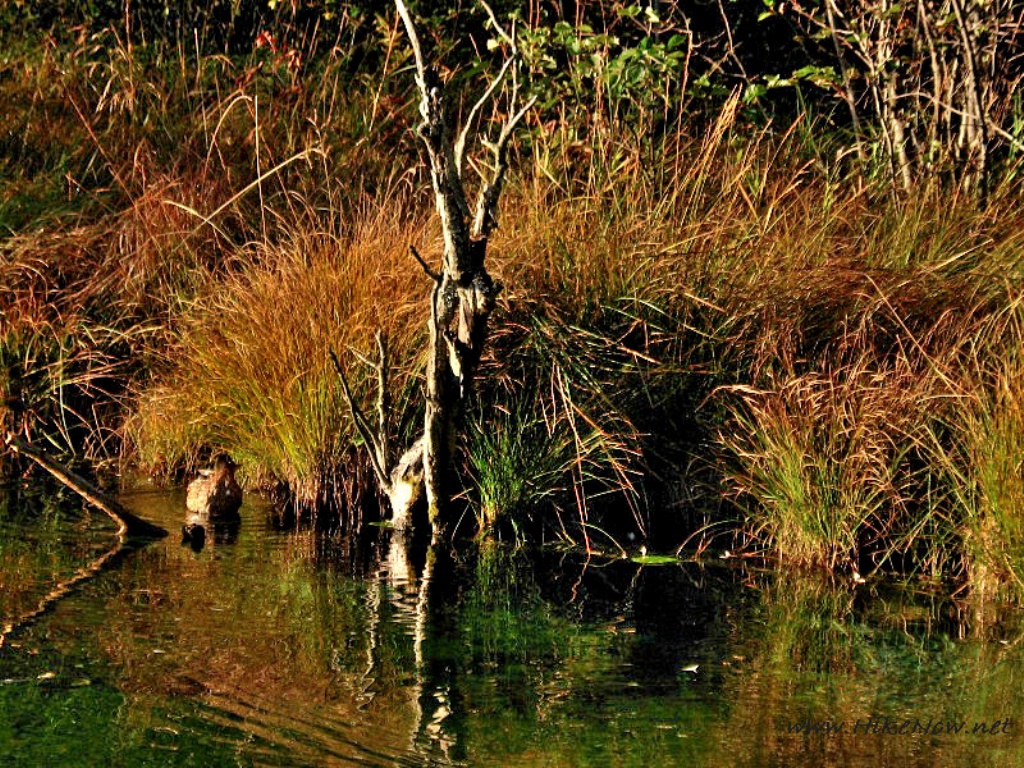
On the left side of the road is small restaurant and parking place where you can leave your car. Only five minutes from park place through the tiny wooden path you arrive to the source of river Sava Dolinka .
The Sava is the longest river in Slovenia (219 km).The catchment area occupies 53% of all Slovene territory. Both its sources the Sava Bohinjka and Sava Dolinka spring out in Julian Alps and thus place river among Alpine rivers. The Sava Dolinka take its first its source as the karst spring called Nadiža which emerges on west south slopes of Tamar. The waters of Nadiža and its tributaries search for an underground path soon after contacting alluvila gravel at the bottom of the valley.

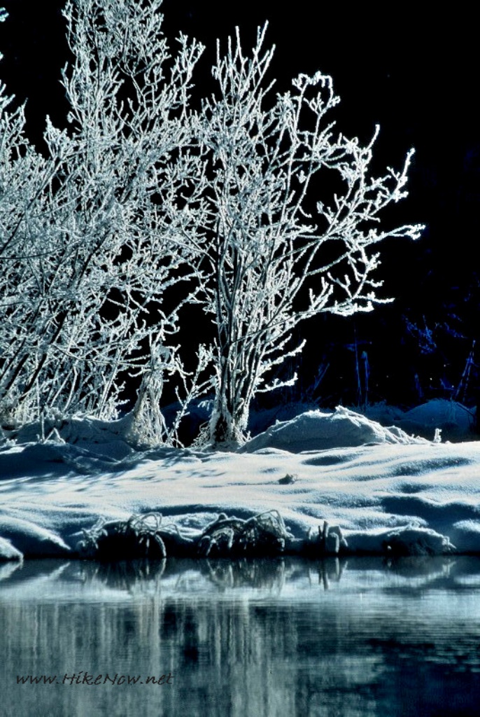
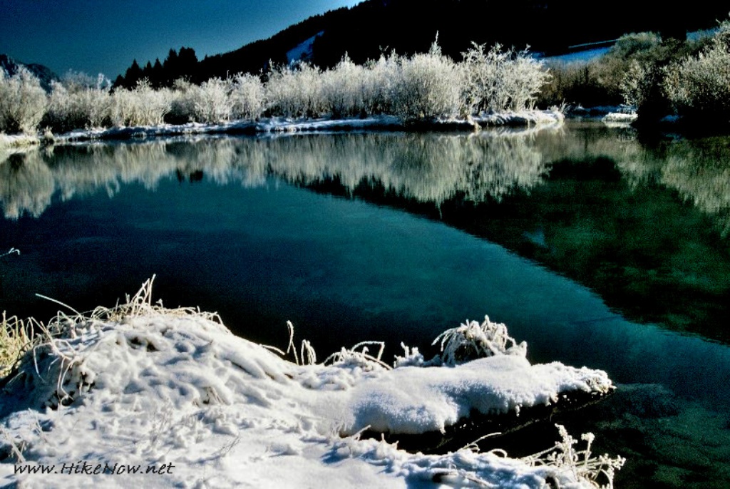
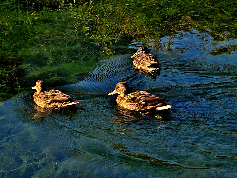
Trip to Zelenci
Reaching the lowest level they strike upon impermeable morainic mound. The water emerges again, this time taking the form of noumerus source, pools and small lakes. This place is know as Zelenci; the second source of the river Sava Dolinka. The waters of Trebiza and Kravnjak from the Karavanke area gather in a periodic lake Ledine near Rateče.
The waters from Planica valley flow through Zelenci and further on into the Sava and the waters from Karavanke flow through the Ledine lake and then to Drava, therefore the area we are talking about is in fact a watershed.
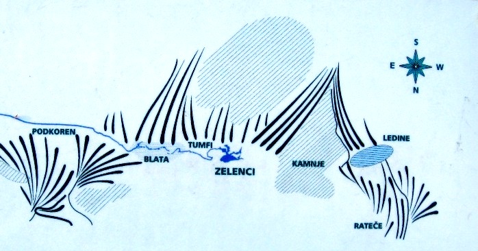
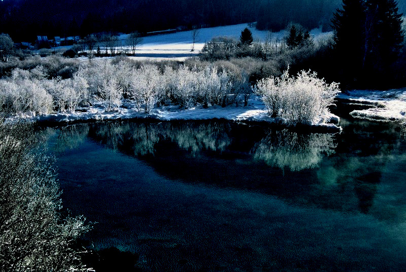
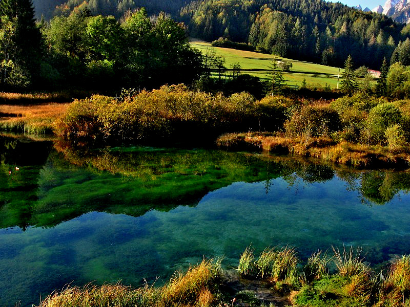
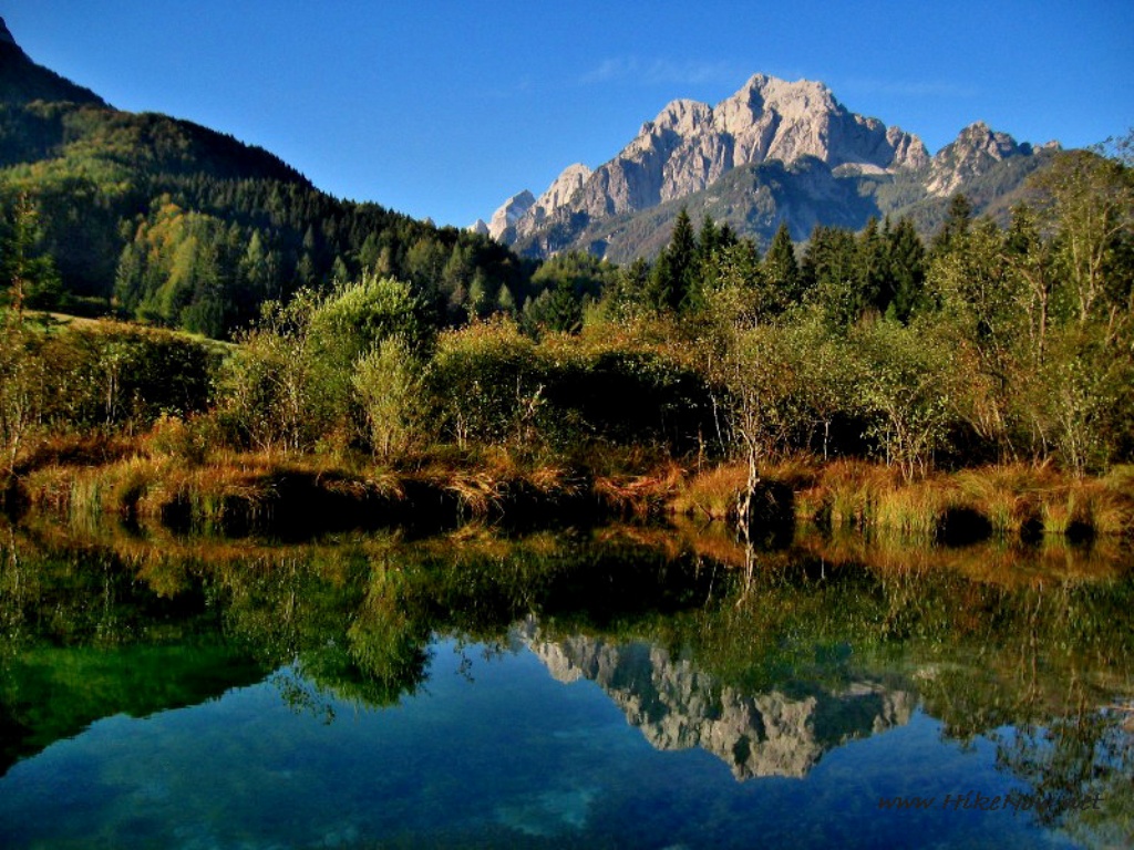
Valley of river Sava
Gornjesavska dolina - Upper Sava Valley or Dolina lies in the nort west part of Slovenia. It is of tectonic and glacial origin. In the old time during glacial period, the glacier in Planica walley which takes from the mountain of Ponce, Jalovec, Mala Mojstrovka and Velika Mojstrovka, made moraines along Dolina walley. On this undulating wooded area between Rateče and Zelenci some eratic blocks can still be observed. Today, that area was named Kamnje (Stones).
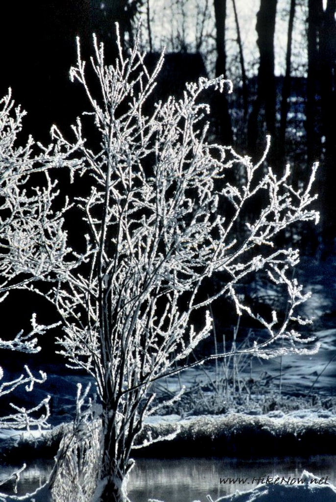
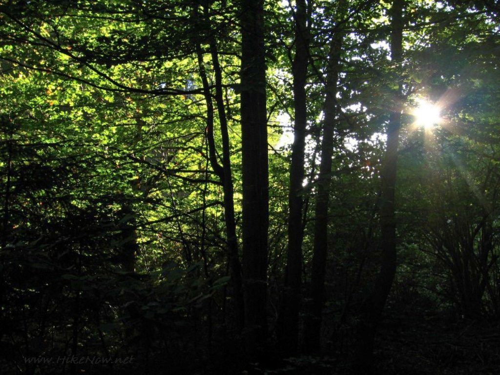
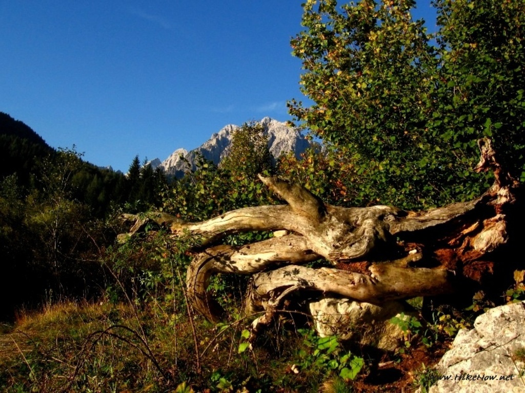
Walking through forest to the small villages
During the glacial periods and even later the waters fowing down from the glaciers brought enormous quantities of gravel from the steep slopes and deposited it in the Dolina, forming alluvial cones (the Planica area and the Podkoren area). The Podkoren area, on which the village Podkoren rests, damed the Sava and thus formed a large Podkoren lake, what reamins of it today is the emerald coloured Zelenci lake and the Blato swamp..