
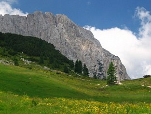
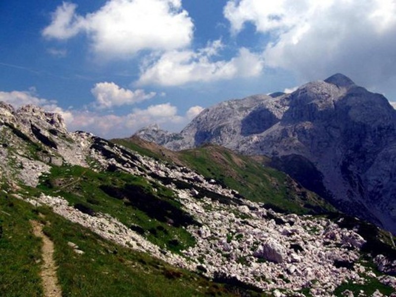
Creta di Aip (Trogkofel, Veliki Koritnik) is the highest summit of the eastern part of the Carnic Alps Main Ridge. Its north face with its dramatic appearance dominates the alpine meadows around Rudnig Alm.
 Gething to Passo Pramollo - Nassfeld pass
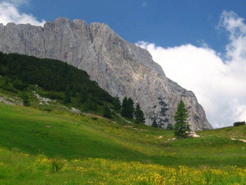
The summit itself is broad plateau which vertical drops on all sides. Close to the south face runs Traversata Carnica, Karnischer Höhenweg (403) a multi day 140km trekking trail. The mountain is made of Permian Trogkofel limestone which is singular in the area in which it stands. The mountain was first ascended in 1886 by C. Prochaska and J. Biebl.
Starting from Italy drive through Pontebba village (545 m) and then turn directly to Passo di Pramollo / Nassfeld Pass (1530 m). From Pontebba to the pass you will need 30 minutes. On the Austrian side, shortly behind the border you will find the ski area called Arena Nassfeld, where you can park your car. From Austria Take B111 through Gailtal until you reach Hermagor. West of Hermargor turn south onto the road to Nassfeld Pass.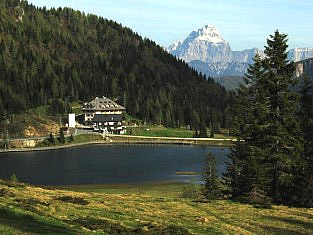
Accommodation in Nassfeld
Accomodation is possible at the hotels and rooms on Passo Pramolo or at the agritourismo on Passo del Cason di Lanza under Monte Zermula.
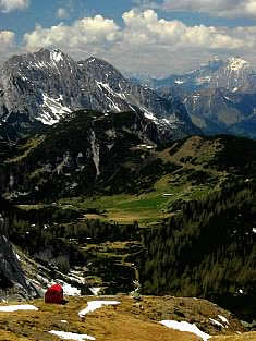
Also possibile is staying for the night in bivouac Lomasti. It is positioned under crest Roskofel – Trogkofel near sadle Sella di Aip.
 Climb to Trogkofel / Creta di Aip
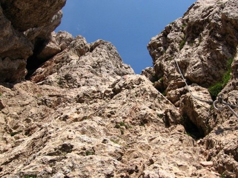
Via ferrata Crete Rosse
The origin of ferrata begins in Traversata Carnica, (Karnischer Höhenweg) on south side of Creta di Aip (path 403). Traversata Canica may be reached from Rudnig Alm over saddle Rudnig Sattel (one houre) or from Passo del Cason di Lanza (1552m). Aproximatly 15 minutes from Rudnig Sattel we can see in the wall inclined wide and expresive couloir. Here you can climb up through short and as well as secured ferrata.
 Essential Gear
Via ferrata equipment helmet, climbing belt.