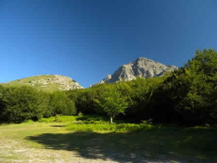
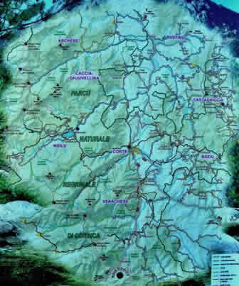
Monte d'oro lies almost in the middle of the Corsica island. With its altitude belongs to the six major mountains in Corsica such as Monte Rotondo, Paglia Orba, Monte Cinto Monte Renoso and ofcource Monte d'Oro.
Most visitors of Corsica get very much attracted by the beaches there and clear sea in all sorts of shades of blue. However there are many visitors that are not only interested in lying on the beach but they want also to discover the interior of the island. When traveling inside the island we can immediately notice high mountains with sharp granite rock. Because Corsica is a small island we can easily get on a morning trip to the mountains, and in the afternoon we can than cool down our feet in the sea. Its a great place for people that love mountains, beaches, sea and a lot of sun.
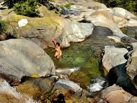
 Hiking to Cascade des Anglais
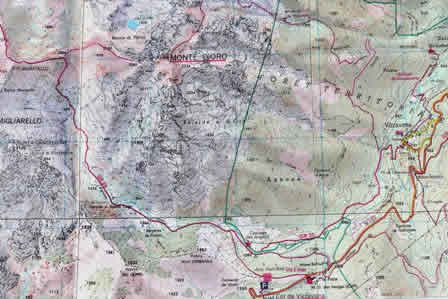
If you are planning a trip to Corsica than you should not forget hiking equipment. In our trip we had planned few climbs on peaks around the known path GR20. Our camp was near the village Porticcio that is situated about 10 km from Ajaccio. We choosed for the ascent, more than 2300 m high mountain of Monte d 'Oro. The starting point for the ascent of Monte d 'Oro is 11260 m high mountain pass Col di Vizzavona. From Ajaccio to the mountain pass is around an hour drive with the car.
MOunt d'Oro is a very known mountain that is visible from the mountain pass, so the orienation here is not hard, we just go in the direction of mountain hiking trails and follow the markings GR20 along the way, you can also look at the English falls, Cascade des Anglais. If you want to visit the mountain in the hot summer, than you need to get with you enough fluids, it will be necessary to have this if you want to overcome more than 1200 m elevation. On the way to the top of the mountain there is no mountain huts, you will find a mountain hut further on the path GR20, this hut is an hour and a half far away from the turning paths of Mount d'Oro. (Hut Du Mounth d'Oro phone 049 547 2527).
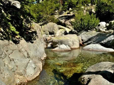
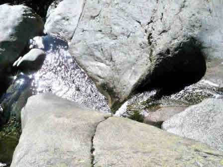
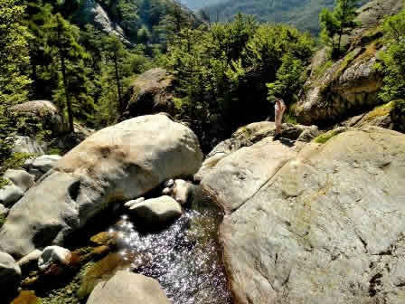
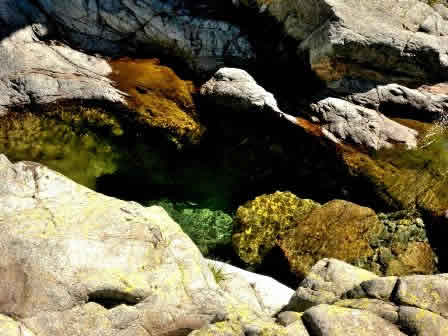
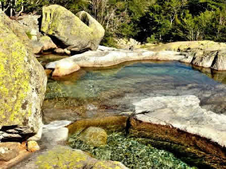
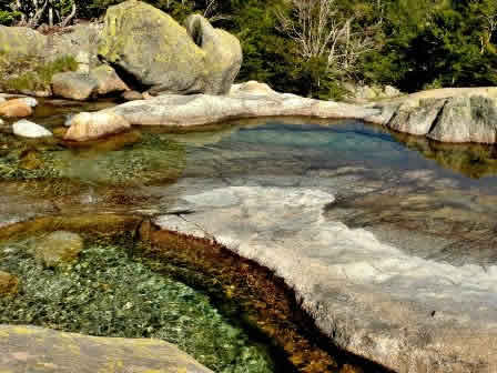
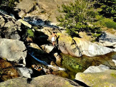
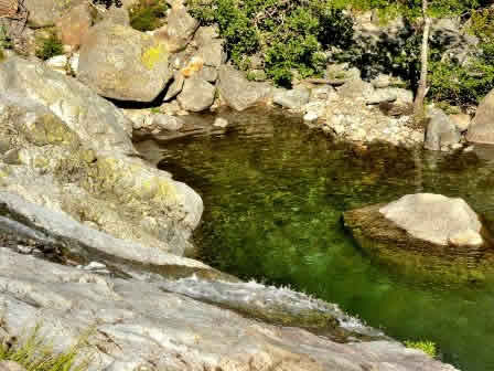
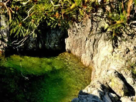
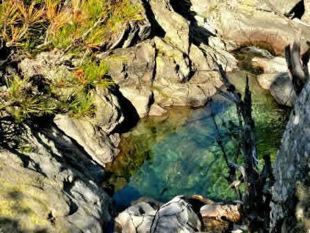
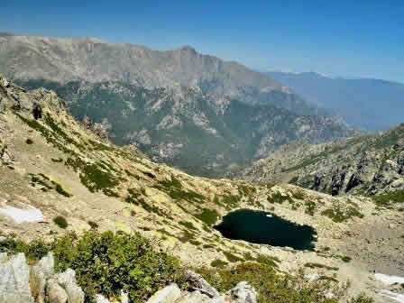
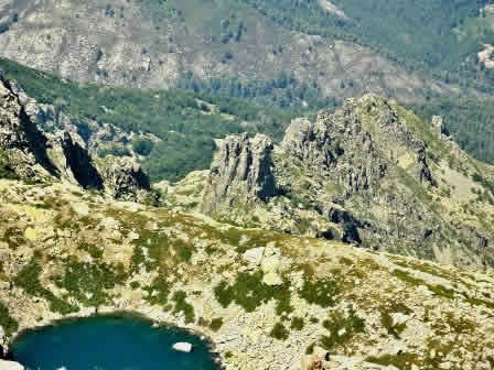
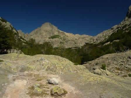
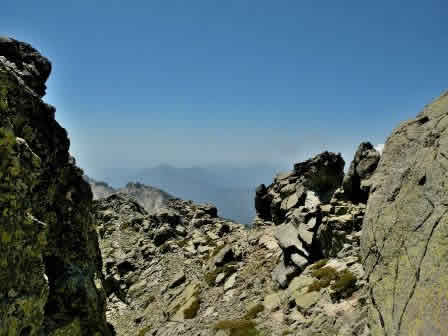
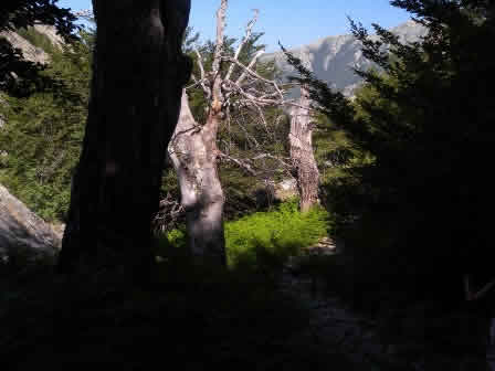
The first third of the way takes place in the forest of deciduous trees along with the streams and picturesque cascades in which we can find lovely pools of crystal water. The second part of the path is more steeper and there is a lot of grass on it. We climb on the pat GR20 in the direction of the mountain passage through the reef. Just below the summit ridge is a turning on the right path and you can notice there the inscription on the rock of Monte d'Oro.
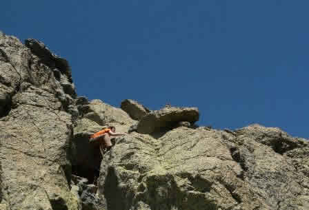 Ascend to the summit of Mount d'Oro
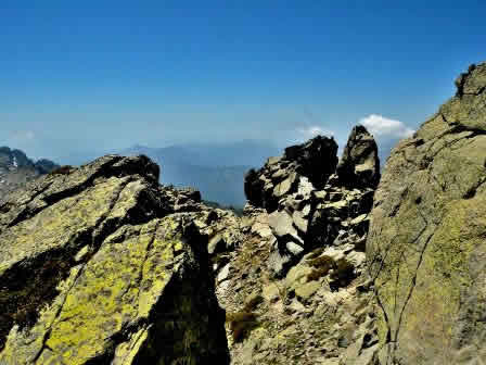
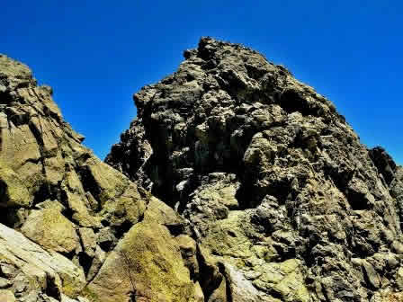
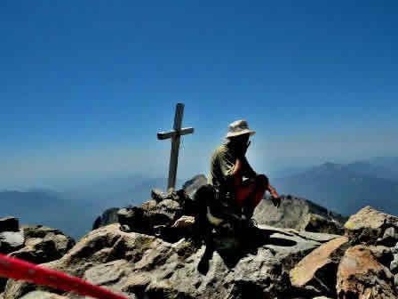
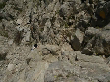
The last part of the route (around 38 vertical meters) is poorly marked, and therefore its not recommendable to go on the summit in a bad or foggy weather, especially if you are for the first time in this environment. The route of the GR20 is rapidly turning and is slightly raised and placed at a height of about 2290 meters. In the last 100 meters we are moving in the rocky ridge with scattered boulders and cleft tines. The path is partially marked with yellow markings, which can get lost during the lichens, which are the same color as the markings. The best guides are the rock towers that were put there by our predecessors.
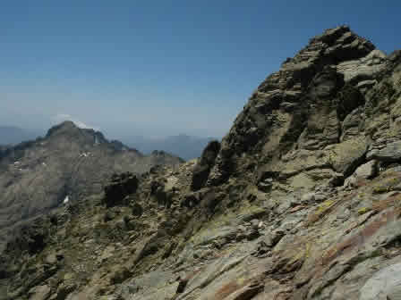
Before the final ascent to the summit we need to descend slightly and go around the last part. In the few meters we need to use some of hte skills in rock climbing. Climbings to the summit is in this case easier I. to II. level. The ascent to the summit is rewarded with a beautiful view of the sea. The view is stopped in the norht, where we can admire more than 2700 meters high mountain barrier, where the peaks are covered with snow. If you descend of the path you can enjoy in the end well deserved and refreshing bath in the pools above the English waterfalls.